Precision 2D & 3D spatial twins with real-time RTLS intelligence.
The foundational spatial operating system for enterprise facilities. Ingest CAD blueprints into interactive vector maps, locate physical assets with sub-meter accuracy, and monitor environmental telemetry.
End-to-end spatial mapping, RTLS positioning & IoT intelligence.
Everything required to model complex physical infrastructure and orchestrate real-time tracking at enterprise scale.
2D & 3D Vector Digital Twins
Upload CAD (.DWG/DXF), GeoJSON, or architectural blueprints to automatically generate vector polygons with accurate scale and multi-story layer alignment.

Sub-Meter Real-Time RTLS
Hardware-agnostic positioning engine integrating Bluetooth Low Energy (BLE AoA), Ultra-Wideband (UWB), and Wi-Fi access point RSSI triangulation.

Device Lifecycle & Batch CSV
Complete tag lifecycle management: add, edit, remove, bulk CSV import, and live battery & connectivity health monitoring.

Hardware-Agnostic Gateways
Plug-and-play with Cisco, Aruba, Huawei, TP-Link Omada, Minew, Raspberry Pi, and MQTT telemetry brokers.

Immutable Audit & Compliance
Login and event audit trails, Syslog export to external SIEM systems, and minimum 90-day data retention for enterprise compliance.
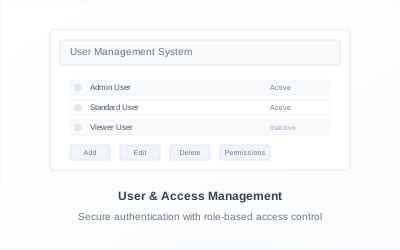
Multi-Tier RBAC & Tenant Control
Granular role-based access control (Global Admin, Enterprise Admin, Operator), department segregation, and custom permissions.
Technical Architecture & Integration Specs
Ready to integrate EazyTrax Enterprise?
Deploy the digital twin engine across your organization's physical facilities today.